Geolocate

Monte Lion topographic map

Click on the map to display elevation.

About this map
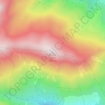
Name: Monte Lion topographic map, elevation, terrain.

Location: Monte Lion, Castellamonte, Torino, Piemonte, Italia (45.50162 7.69269 45.50172 7.69279)

Average elevation: 5,220 ft

Minimum elevation: 3,619 ft

Maximum elevation: 6,578 ft

Gear up for your next adventure:

🗺️NatGeo Topo Maps - High-quality waterproof printed topographic maps of US Parks
🔭Telescopic Hiking Pole - Adjustable pole for hiking stability
🌧️Backpack Rain Cover - Keep gear dry in wet weather
❄️Traction Cleats - Prevent slips on icy trails during winter hikes
⛺Backpacking Tents - Weight-optimized shelters for multi-day topographic surveys

As an Amazon Associate, this site earns from qualifying purchases at no extra cost to you.