
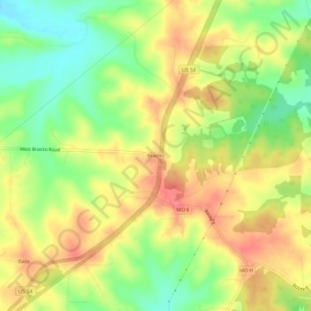
Brazito topographic map
Click on the map to display elevation.
About this map
Name: Brazito topographic map, elevation, terrain.
Location: Brazito, Cole County, Missouri, United States (38.42561 -92.32349 38.46561 -92.28349)
Average elevation: 764 ft
Minimum elevation: 636 ft
Maximum elevation: 876 ft
Cole County trails, hiking, mountain biking, running and outdoor activities
Other topographic maps
Click on a map to view its topography, its elevation and its terrain.