
Thank you for supporting this site ❤️
Make a donation
Make a donation
Gear up for your next adventure:
As an Amazon Associate, this site earns from qualifying purchases at no extra cost to you.
Yeşilköy topographic map
Click on the map to display elevation.
Thank you for supporting this site ❤️
Make a donation
Make a donation
Gear up for your next adventure:
As an Amazon Associate, this site earns from qualifying purchases at no extra cost to you.
About this map
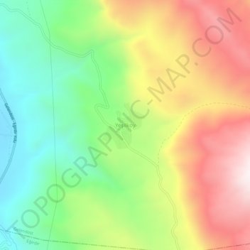
Name: Yeşilköy topographic map, elevation, terrain.
Location: Yeşilköy, Gelendost, Isparta, Mediterranean Region, Turkey (37.97387 30.97719 38.01387 31.01719)
Average elevation: 4,386 ft
Minimum elevation: 3,031 ft
Maximum elevation: 6,086 ft
Thank you for supporting this site ❤️
Make a donation
Make a donation
Gear up for your next adventure:
As an Amazon Associate, this site earns from qualifying purchases at no extra cost to you.