
Getzbach topographic map
Interactive map
Click on the map to display elevation.
About this map
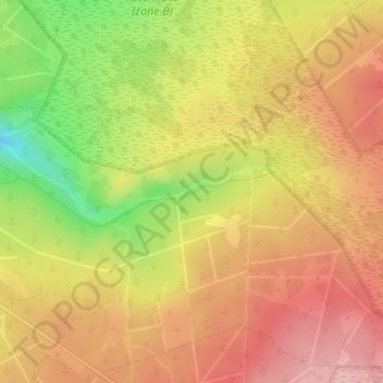
Name: Getzbach topographic map, elevation, terrain.
Location: Getzbach, Eupen, Luik, Wallonië, België (50.58835 6.15173 50.59182 6.16829)
Average elevation: 1,752 ft
Minimum elevation: 1,457 ft
Maximum elevation: 1,939 ft
Other topographic maps
Click on a map to view its topography, its elevation and its terrain.