
Steinbach topographic map
Interactive map
Click on the map to display elevation.
About this map
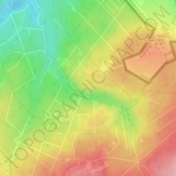
Name: Steinbach topographic map, elevation, terrain.
Location: Steinbach, Eupen, Verviers, Luik, Wallonië, 4700, België (50.61856 6.15811 50.62741 6.17673)
Average elevation: 1,493 ft
Minimum elevation: 1,237 ft
Maximum elevation: 1,722 ft
Other topographic maps
Click on a map to view its topography, its elevation and its terrain.