
Manglares de San Pedro de Vice topographic map
Interactive map
Click on the map to display elevation.
About this map
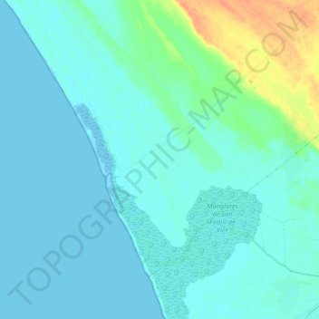
Name: Manglares de San Pedro de Vice topographic map, elevation, terrain.
Average elevation: 23 ft
Minimum elevation: -10 ft
Maximum elevation: 121 ft
Other topographic maps
Click on a map to view its topography, its elevation and its terrain.
Parachique
Perú > Departamento de Piura > Sechura > Parachique
Parachique, Sechura, Provincia de Sechura, Departamento de Piura, 20690, Perú
Average elevation: 13 ft
Provincia de Sechura
Perú > Departamento de Piura > Sechura
Provincia de Sechura, Sechura, Departamento de Piura, Perú
Average elevation: 10 ft