
Parachique topographic map
Click on the map to display elevation.
About this map
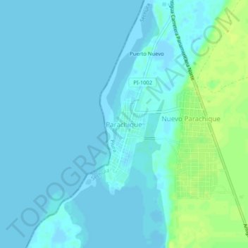
Name: Parachique topographic map, elevation, terrain.
Location: Parachique, Sechura, Piura, Perú (-5.78375 -80.88433 -5.74375 -80.84433)
Average elevation: 13 ft
Minimum elevation: -16 ft
Maximum elevation: 46 ft