
Partyzanske topographic map
Interactive map
Click on the map to display elevation.
Partyzanske
Partyzanske is located on Crimea's southern shore at an elevation of 362 metres (1,188 ft). The settlement is located 5 km (3.1 mi) southwest from Hurzuf, which it is administratively subordinate to. Its population was 94 in the 2001 Ukrainian census. Current population: 65 (2014 Census).
About this map
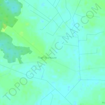
Name: Partyzanske topographic map, elevation, terrain.
Location: Partyzanske, Kovel Raion, Volyn Oblast, Ukraine (51.03750 24.96231 51.05175 24.99630)
Average elevation: 600 ft
Minimum elevation: 584 ft
Maximum elevation: 627 ft