
Bokaro topographic map
Interactive map
Click on the map to display elevation.
About this map
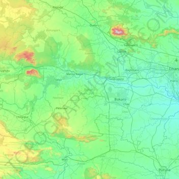
Name: Bokaro topographic map, elevation, terrain.
Location: Bokaro, Jharkhand, India (23.41131 85.58242 23.98662 86.48087)
Average elevation: 1,056 ft
Minimum elevation: 427 ft
Maximum elevation: 4,262 ft