Geolocate

Cerro Caracol topographic map

Click on the map to display elevation.

About this map

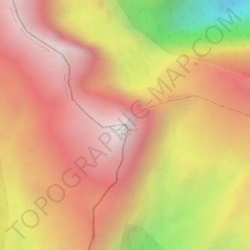
Name: Cerro Caracol topographic map, elevation, terrain.

Location: Cerro Caracol, Concepción, García Rovira, Santander, Colombia (6.84279 -72.47682 6.84289 -72.47672)

Average elevation: 11,677 ft

Minimum elevation: 8,937 ft

Maximum elevation: 13,104 ft

Gear up for your next adventure:

🔭Telescopic Hiking Pole - Adjustable pole for hiking stability
🧭Map Reading Tools - Tools and kits for map navigation
🌲Outdoor Survival Books - Best books on survival skills
🪑Ultralight Camp Chairs - Portable seating for resting after a long day of mapping
👖Convertible Hiking Pants - Versatile zip-off pants for changing altitudes and temperatures

As an Amazon Associate, this site earns from qualifying purchases at no extra cost to you.