Geolocate

Urmodi River topographic map

Click on the map to display elevation.

About this map

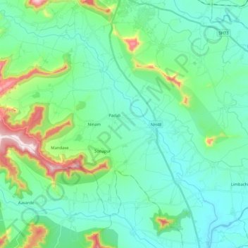
Name: Urmodi River topographic map, elevation, terrain.

Location: Urmodi River, Satara, Maharashtra, 415002, India (17.47717 73.90886 17.67341 74.10118)

Average elevation: 2,283 ft

Minimum elevation: 1,909 ft

Maximum elevation: 3,750 ft

Gear up for your next adventure:

📷Action Cameras - Rugged cameras to document your journeys across rugged terrain
🔋Rechargeable Batteries - Power up your outdoor devices
🎒Waterproof Dry Bags - Keep your electronics and maps dry inside your pack
🛰️Handheld GPS Units - Professional satellite navigators for precise backcountry mapping
🧷Carabiner Set - Durable clips for gear attachment

As an Amazon Associate, this site earns from qualifying purchases at no extra cost to you.