Geolocate

Chemre topographic map

Click on the map to display elevation.

About this map

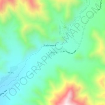
Name: Chemre topographic map, elevation, terrain.

Location: Chemre, Leh Tehsil, Leh district, Ladakh, India (33.92955 77.76342 33.96955 77.80342)

Average elevation: 12,175 ft

Minimum elevation: 11,283 ft

Maximum elevation: 14,295 ft

Gear up for your next adventure:

🧼Biodegradable Camping Soap - Eco‑friendly soap for outdoor hygiene
🚑Emergency Bivvies - Heat-reflective sleeping bags for survival situations
📶Vehicle Signal Boosters - Improve reception in rural areas while driving to trailheads
🌡️Portable Weather Meter - Track weather conditions on the trail
🔭Telescopic Hiking Pole - Adjustable pole for hiking stability

As an Amazon Associate, this site earns from qualifying purchases at no extra cost to you.