
Santa Ines topographic map
Click on the map to display elevation.
About this map
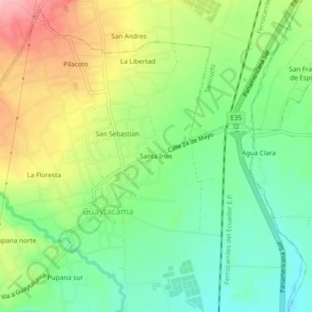
Name: Santa Ines topographic map, elevation, terrain.
Location: Santa Ines, Guaytacama, Latacunga, Cotopaxi, 050109, Ecuador (-0.83788 -78.65538 -0.79788 -78.61538)
Average elevation: 9,593 ft
Minimum elevation: 9,403 ft
Maximum elevation: 9,872 ft