Geolocate

Whitton topographic map

Click on the map to display elevation.

About this map

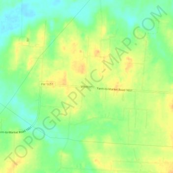
Name: Whitton topographic map, elevation, terrain.

Location: Whitton, Van Zandt County, Texas, United States (32.46264 -96.01525 32.50264 -95.97525)

Average elevation: 456 ft

Minimum elevation: 397 ft

Maximum elevation: 509 ft

Van Zandt County trails, hiking, mountain biking, running and outdoor activities

Gear up for your next adventure:

Solar GPS Watches - Advanced multisport watches with built-in topographic maps
🚪Portable Camp Chair - Foldable chair for comfort at camp
🔭Stargazing Telescopes - Perfect for camping in low-light pollution areas shown on maps
🪶LED Camping Lantern - Bright lantern for camp lighting
🔋Solar Power Banks - Keep your GPS and phone charged in remote wilderness areas

As an Amazon Associate, this site earns from qualifying purchases at no extra cost to you.