
A39 topographic map
Click on the map to display elevation.
About this map
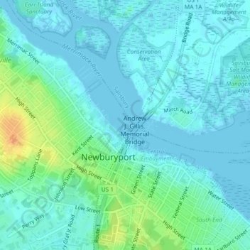
Name: A39 topographic map, elevation, terrain.
Location: A39, Newburyport, Essex County, Massachusetts, United States (42.81598 -70.87486 42.81608 -70.87470)
Average elevation: 26 ft
Minimum elevation: -3 ft
Maximum elevation: 115 ft
Essex County trails, hiking, mountain biking, running and outdoor activities