
Thank you for supporting this site ❤️
Make a donation
Make a donation
Gear up for your next adventure:
As an Amazon Associate, this site earns from qualifying purchases at no extra cost to you.
Kaluyo topographic map
Click on the map to display elevation.
Thank you for supporting this site ❤️
Make a donation
Make a donation
Gear up for your next adventure:
As an Amazon Associate, this site earns from qualifying purchases at no extra cost to you.
About this map
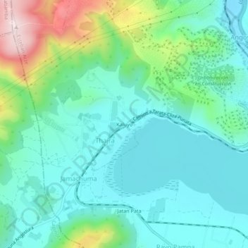
Name: Kaluyo topographic map, elevation, terrain.
Location: Kaluyo, Thajra, Arbieto, Esteban Arze, Cochabamba, Bolivia (-17.54711 -66.12926 -17.50711 -66.08926)
Average elevation: 9,117 ft
Minimum elevation: 8,763 ft
Maximum elevation: 10,233 ft
Thank you for supporting this site ❤️
Make a donation
Make a donation
Gear up for your next adventure:
As an Amazon Associate, this site earns from qualifying purchases at no extra cost to you.