
Geddes topographic map
Click on the map to display elevation.
About this map
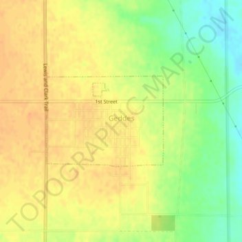
Name: Geddes topographic map, elevation, terrain.
Location: Geddes, Charles Mix County, South Dakota, United States (43.24815 -98.70694 43.25829 -98.68893)
Average elevation: 1,588 ft
Minimum elevation: 1,512 ft
Maximum elevation: 1,634 ft
Charles Mix County trails, hiking, mountain biking, running and outdoor activities