
Augustus topographic map
Click on the map to display elevation.
About this map
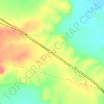
Name: Augustus topographic map, elevation, terrain.
Location: Augustus, Garza County, Texas, United States (33.11065 -101.31958 33.15065 -101.27958)
Average elevation: 2,438 ft
Minimum elevation: 2,343 ft
Maximum elevation: 2,530 ft
Garza County trails, hiking, mountain biking, running and outdoor activities