Geolocate

Albion topographic map

Click on the map to display elevation.

About this map

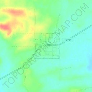
Name: Albion topographic map, elevation, terrain.

Location: Albion, Pushmataha County, Oklahoma, 74524, United States (34.65885 -95.10387 34.66615 -95.09502)

Average elevation: 679 ft

Minimum elevation: 617 ft

Maximum elevation: 807 ft

Pushmataha County trails, hiking, mountain biking, running and outdoor activities

Gear up for your next adventure:

🎁Geography Themed Gifts - Unique gift ideas for map lovers and geography enthusiasts
📻Weather Alert Radios - Stay informed of storm risks while off-the-grid
🧤Hiking Gloves - Protective gloves for rugged trails
📦Dry Bags Set - Waterproof storage for electronics and clothes
👓Polarized Sunglasses - Outdoor sunglasses for glare reduction

As an Amazon Associate, this site earns from qualifying purchases at no extra cost to you.