Geolocate
👉 Easily get elevation data in JSON, GeoTIFF and KML formats using Elevation API
Thank you for supporting this site ❤️
Make a donation

Poplar Grove topographic map

Click on the map to display elevation.

About this map

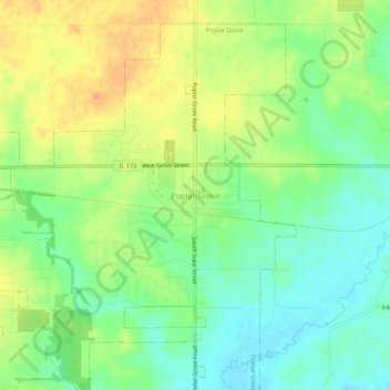
Name: Poplar Grove topographic map, elevation, terrain.

Location: Poplar Grove, Boone County, Illinois, 61065, United States (42.34835 -88.84205 42.38835 -88.80205)

Average elevation: 896 ft

Minimum elevation: 833 ft

Maximum elevation: 968 ft

Boone County trails, hiking, mountain biking, running and outdoor activities

Gear up for your next adventure:

🦶Hiking Gaiters - Keep debris and water out of your boots
🗻Climbing Gear Basics - Essential gear for beginner climbers
🔪Outdoor Multitools - Essential survival tools for gear repair and field use
🏫Relief Map Kits - Hands-on tools for teaching landforms and elevation
🛡️Bear Spray Outdoor - Protection in bear country hikes

As an Amazon Associate, this site earns from qualifying purchases at no extra cost to you.