Geolocate

Babylon topographic map

Click on the map to display elevation.

About this map

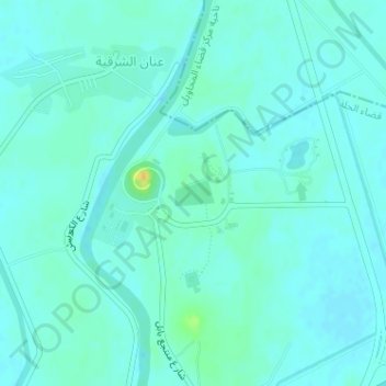
Name: Babylon topographic map, elevation, terrain.

Location: Babylon, شارع منتجع بابل, Hayy ad Damhah, Babil, 51001, Iraq (32.54142 44.41970 32.54331 44.42298)

Average elevation: 108 ft

Minimum elevation: 92 ft

Maximum elevation: 177 ft

Gear up for your next adventure:

☀️Outdoor Sunscreen - High protection sunscreen for outdoor activities
🌡️Portable Weather Meter - Track weather conditions on the trail
🛠️Backpacking Tool Kit - Essential toolkit for outdoor repairs
🥇GPS Hiking Watch - Multi‑sport GPS watch with navigation and trail tracking
📡Handheld GPS Device - Reliable handheld GPS for outdoor navigation

As an Amazon Associate, this site earns from qualifying purchases at no extra cost to you.