
Djebel Aïssa topographic map
Interactive map
Click on the map to display elevation.
About this map
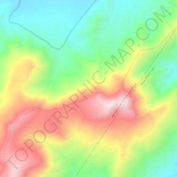
Name: Djebel Aïssa topographic map, elevation, terrain.
Location: Djebel Aïssa, Aïn Séfra, daïra Ain Sefra, Naâma, RADP (32.94163 -0.47518 32.97506 -0.42192)
Average elevation: 5,587 ft
Minimum elevation: 4,557 ft
Maximum elevation: 6,913 ft
Other topographic maps
Click on a map to view its topography, its elevation and its terrain.
Parc National de Djebel Aissa
RADP > Naâma > Aïn Séfra > Aïn Séfra
Parc National de Djebel Aissa, Aïn Séfra, daïra Ain Sefra, Naâma, RADP
Average elevation: 4,285 ft