Geolocate

Wadi Rum topographic map

Click on the map to display elevation.

About this map

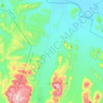
Name: Wadi Rum topographic map, elevation, terrain.

Location: Wadi Rum, Munayshīr, Aqaba, Jordan (29.56918 35.42342 29.67749 35.45471)

Average elevation: 3,297 ft

Minimum elevation: 2,556 ft

Maximum elevation: 5,636 ft

Gear up for your next adventure:

🔊Portable Camp Speaker - Music and alerts at camp
🧥Men's Rain Shells - Premium waterproof and breathable jackets for mountain weather
🎒Hydration Pack - Hands‑free water reservoir for long hikes
🦺Reflective Outdoor Gear - Safety gear for low‑light conditions
🔥Camping Stove - Portable stove for camping and backcountry cooking

As an Amazon Associate, this site earns from qualifying purchases at no extra cost to you.