Geolocate

Solalex topographic map

Click on the map to display elevation.

About this map
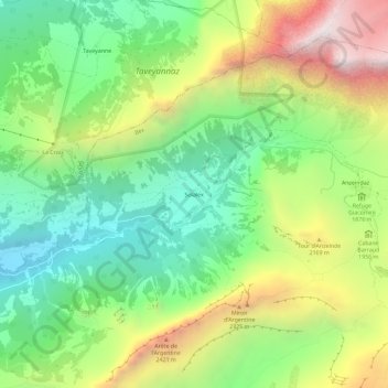
Name: Solalex topographic map, elevation, terrain.

Location: Solalex, Bex, District d'Aigle, Vaud, 1880, Suisse (46.26842 7.11703 46.30842 7.15703)

Average elevation: 6,073 ft

Minimum elevation: 4,127 ft

Maximum elevation: 9,137 ft

Other topographic maps

Click on a map to view its topography, its elevation and its terrain.

Glacier des Martinets

Suisse > Vaud > District d'Aigle > Bex

Average elevation: 8,025 ft

Gear up for your next adventure:

📻Weather Alert Radios - Stay informed of storm risks while off-the-grid
🥾Women's Hiking Boots - Top-rated trail boots with ankle support and superior grip
🧺Microfiber Travel Towels - Compact and fast-drying towels for trail use
🧢Sun Protection Hats - Wide-brimmed and UPF-rated hats for high-altitude sun safety
🚪Portable Camp Chair - Foldable chair for comfort at camp

As an Amazon Associate, this site earns from qualifying purchases at no extra cost to you.