
Wum topographic map
Interactive map
Click on the map to display elevation.
About this map
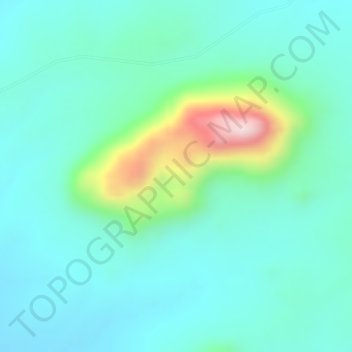
Name: Wum topographic map, elevation, terrain.
Location: Wum, Fufore, Adamawa State, Nigeria (8.94995 12.38328 8.95005 12.38338)
Average elevation: 1,358 ft
Minimum elevation: 1,089 ft
Maximum elevation: 2,267 ft
Other topographic maps
Click on a map to view its topography, its elevation and its terrain.
Tongu
Nigeria > Adamawa State > Fufore
Tongu, Fufore, Adamawa State, Nigeria
Average elevation: 1,070 ft