Geolocate

السعادة topographic map

Click on the map to display elevation.

About this map
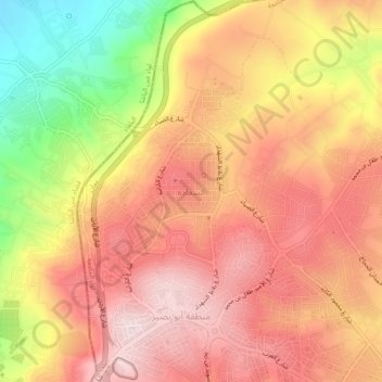
Name: السعادة topographic map, elevation, terrain.

Location: السعادة, Al-Jami'ah Sub-District, Al-Jami'ah District, Amman, 00962, Jordan (32.04491 35.86178 32.08491 35.90178)

Average elevation: 2,933 ft

Minimum elevation: 2,116 ft

Maximum elevation: 3,425 ft

Other topographic maps

Click on a map to view its topography, its elevation and its terrain.

Sweileh

Jordan > Amman > Al-Jami'ah Sub-District

Average elevation: 3,196 ft

Sweileh

Jordan > Amman > Al-Jami'ah Sub-District

Average elevation: 3,196 ft

Sweileh

Jordan > Amman > Al-Jami'ah Sub-District

Average elevation: 3,196 ft

Gear up for your next adventure:

🚁Photography Drones - Capture stunning aerial views of landforms and topography
🔌USB Car Charger - Car charger for on‑the‑go power needs
⛑️Personal Locator Beacon - Safety beacon for emergencies
📷Action Camera - Capture your outdoor adventures in HD
🔦Compact Flashlight - Reliable flashlight for emergencies

As an Amazon Associate, this site earns from qualifying purchases at no extra cost to you.