
Lichana topographic map
Interactive map
Click on the map to display elevation.
About this map
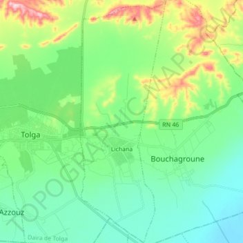
Name: Lichana topographic map, elevation, terrain.
Location: Lichana, Daïra Tolga, Biskra, 07009, Algérie (34.68067 5.41166 34.79573 5.46111)
Average elevation: 545 ft
Minimum elevation: 272 ft
Maximum elevation: 1,322 ft
Other topographic maps
Click on a map to view its topography, its elevation and its terrain.