Geolocate

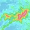
Umina Beach topographic map

Click on the map to display elevation.

About this map
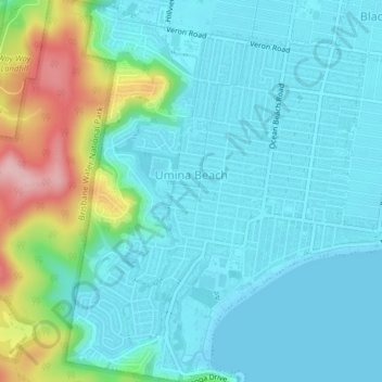
Name: Umina Beach topographic map, elevation, terrain.

Location: Umina Beach, Gosford, New South Wales, Australia (-33.53554 151.29648 -33.50285 151.32868)

Average elevation: 125 ft

Minimum elevation: -7 ft

Maximum elevation: 600 ft

Other topographic maps

Click on a map to view its topography, its elevation and its terrain.
Mount White

Australia > New South Wales > Gosford

Average elevation: 456 ft

Wyong River

Australia > New South Wales > Gosford

Average elevation: 574 ft

Wamberal Beach

Australia > New South Wales > Gosford

Average elevation: 23 ft

Mount Elliot

Australia > New South Wales > Gosford

Average elevation: 302 ft

Erina Creek

Australia > New South Wales > Gosford

Average elevation: 75 ft

Gear up for your next adventure:

🌡️Handheld Weather Meters - Measure wind, temp, and pressure for safe mountain travel
🛰️Satellite Messengers - Emergency SOS and two-way messaging for off-grid adventures
📡Handheld GPS Device - Reliable handheld GPS for outdoor navigation
🧥Men's Rain Shells - Premium waterproof and breathable jackets for mountain weather
⛺Backpacking Tents - Weight-optimized shelters for multi-day topographic surveys

As an Amazon Associate, this site earns from qualifying purchases at no extra cost to you.