Geolocate

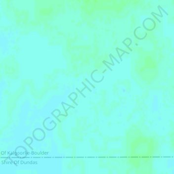
Nullarbor Plain topographic map

Click on the map to display elevation.

Nullarbor Plain

One theory is that the whole area was uplifted by crustal movements in the Miocene, and since then, erosion by wind and rain has reduced its thickness. The plain has most likely never had any major defining topographic features, resulting in the extremely flat terrain across the plain today.

Wikipedia (CC-BY-SA 3.0)

About this map

Name: Nullarbor Plain topographic map, elevation, terrain.

Location: Nullarbor Plain, Forrest, Western Australia, 6434, Australia (-31.35005 128.89995 -31.34995 128.90005)

Average elevation: 430 ft

Minimum elevation: 420 ft

Maximum elevation: 440 ft

Gear up for your next adventure:

🖼️Topo Map Wall Art - Decorative topographic prints of famous peaks and regions
🔌USB Car Charger - Car charger for on‑the‑go power needs
🔊Portable Camp Speaker - Music and alerts at camp
🔥Fast-Boil Camping Stoves - Efficient cooking systems for quick trail meals
🧤Tactile Hiking Gloves - Keep hands warm while operating GPS and smartphone screens

As an Amazon Associate, this site earns from qualifying purchases at no extra cost to you.