
Thank you for supporting this site ❤️
Make a donation
Make a donation
Gear up for your next adventure:
As an Amazon Associate, this site earns from qualifying purchases at no extra cost to you.
Kotkapura topographic map
Click on the map to display elevation.
Thank you for supporting this site ❤️
Make a donation
Make a donation
Gear up for your next adventure:
As an Amazon Associate, this site earns from qualifying purchases at no extra cost to you.
About this map
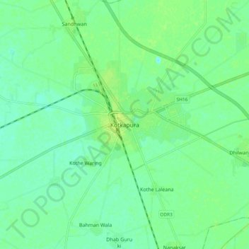
Name: Kotkapura topographic map, elevation, terrain.
Location: Kotkapura, Kotkapura Tahsil, Faridkot, Punjab, 151204, India (30.53918 74.78107 30.61918 74.86107)
Average elevation: 686 ft
Minimum elevation: 666 ft
Maximum elevation: 705 ft
Thank you for supporting this site ❤️
Make a donation
Make a donation
Gear up for your next adventure:
As an Amazon Associate, this site earns from qualifying purchases at no extra cost to you.