Geolocate

Collinsville topographic map

Click on the map to display elevation.

About this map

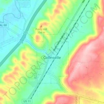
Name: Collinsville topographic map, elevation, terrain.

Location: Collinsville, DeKalb County, Alabama, 35961, United States (34.24046 -85.89662 34.29483 -85.83123)

Average elevation: 935 ft

Minimum elevation: 653 ft

Maximum elevation: 1,398 ft

DeKalb County trails, hiking, mountain biking, running and outdoor activities

Gear up for your next adventure:

🥤Water Filter Bottle - All‑in‑one filter bottle for safe hydration
🧣Merino Neck Gaiters - Multi-functional headwear for wind and sun protection
💧Water Filtration Bottles - Safely drink from streams and lakes while exploring
🪶Survival Guide Book - Expert advice for emergency preparedness
🌧️Backpack Rain Cover - Keep gear dry in wet weather

As an Amazon Associate, this site earns from qualifying purchases at no extra cost to you.