
Santa Isabel topographic map
Click on the map to display elevation.
About this map
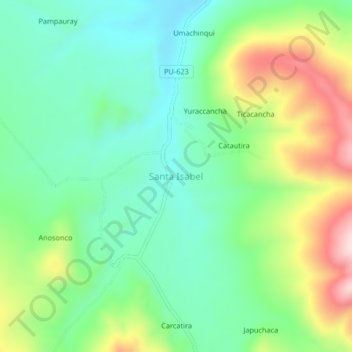
Name: Santa Isabel topographic map, elevation, terrain.
Location: Santa Isabel, Province of Melgar, Puno, Peru (-14.35267 -70.40066 -14.31267 -70.36066)
Average elevation: 14,432 ft
Minimum elevation: 14,019 ft
Maximum elevation: 15,253 ft