
Cape Point topographic map
Click on the map to display elevation.
Cape Point
The new lighthouse is at a lower elevation (87 meters; 285.5 feet above sea level), for two reasons: the old lighthouse, located at 34°21′12″S 18°29′25.2″E / 34.35333°S 18.490333°E / -34.35333; 18.490333 (262 meters; 859.6 feet above sea level), could be seen 'too early' by ships rounding the point towards the east, causing them to approach too closely. Secondly, foggy conditions often prevail at the higher levels, making the older lighthouse invisible to shipping. On 18 April 1911, the Portuguese liner Lusitania was wrecked just south of Cape Point at 34°23′22″S 18°29′23″E / 34.38944°S 18.48972°E / -34.38944; 18.48972 on Bellows Rock for precisely this reason, prompting the relocation of the lighthouse.
About this map
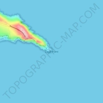
Name: Cape Point topographic map, elevation, terrain.
Average elevation: 26 ft
Minimum elevation: 0 ft
Maximum elevation: 673 ft