Geolocate

Chikhli topographic map

Click on the map to display elevation.

About this map
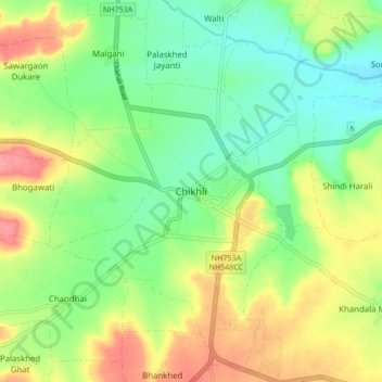
Name: Chikhli topographic map, elevation, terrain.

Location: Chikhli, Buldhana, Maharashtra, 443200, India (20.30911 76.21250 20.38911 76.29250)

Average elevation: 2,008 ft

Minimum elevation: 1,893 ft

Maximum elevation: 2,178 ft

Gear up for your next adventure:

🛶Inflatable Kayak - Portable kayak for rivers, lakes, and expeditions
🪄Magnetic Compass - Accurate compass for navigation
🌡️Handheld Weather Meters - Measure wind, temp, and pressure for safe mountain travel
🧤Tactile Hiking Gloves - Keep hands warm while operating GPS and smartphone screens
🪶Multi‑Purpose Knife - Useful blade for camp and trail

As an Amazon Associate, this site earns from qualifying purchases at no extra cost to you.