
Thank you for supporting this site ❤️
Make a donation
Make a donation
Gear up for your next adventure:
As an Amazon Associate, this site earns from qualifying purchases at no extra cost to you.
Wölfterode topographic map
Click on the map to display elevation.
Thank you for supporting this site ❤️
Make a donation
Make a donation
Gear up for your next adventure:
As an Amazon Associate, this site earns from qualifying purchases at no extra cost to you.
About this map
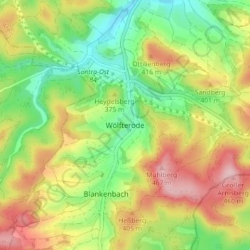
Name: Wölfterode topographic map, elevation, terrain.
Location: Wölfterode, Sontra, Werra-Meißner-Kreis, Hessen, Deutschland (51.00081 9.99019 51.04081 10.03019)
Average elevation: 1,175 ft
Minimum elevation: 879 ft
Maximum elevation: 1,539 ft
Thank you for supporting this site ❤️
Make a donation
Make a donation
Gear up for your next adventure:
As an Amazon Associate, this site earns from qualifying purchases at no extra cost to you.