
Carey topographic map
Interactive map
Click on the map to display elevation.
About this map
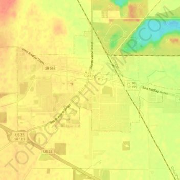
Name: Carey topographic map, elevation, terrain.
Average elevation: 823 ft
Minimum elevation: 715 ft
Maximum elevation: 876 ft
Other topographic maps
Click on a map to view its topography, its elevation and its terrain.
Upper Sandusky
United States > Ohio > Wyandot County > Upper Sandusky
Upper Sandusky, Wyandot County, Ohio, 43351, United States
Average elevation: 853 ft