
Elahuizen topographic map
Interactive map
Click on the map to display elevation.
About this map
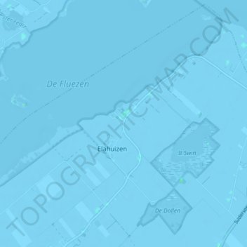
Name: Elahuizen topographic map, elevation, terrain.
Location: Elahuizen, De Fryske Marren, Friesland, Niederlande (52.90615 5.51183 52.94748 5.58260)
Average elevation: -7 ft
Minimum elevation: -20 ft
Maximum elevation: 10 ft
Other topographic maps
Click on a map to view its topography, its elevation and its terrain.
Rohel
Niederlande > Friesland > De Fryske Marren
Rohel, De Fryske Marren, Friesland, Niederlande
Average elevation: -3 ft
De Fryske Marren
Niederlande > Friesland > De Fryske Marren
De Fryske Marren, Friesland, Niederlande
Average elevation: 0 ft