Geolocate

Lexington topographic map

Click on the map to display elevation.

About this map

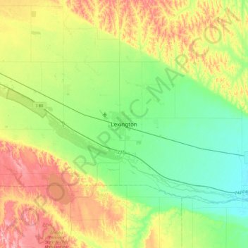
Name: Lexington topographic map, elevation, terrain.

Location: Lexington, Dawson County, Nebraska, 68850, United States (40.61885 -99.90149 40.93885 -99.58149)

Average elevation: 2,470 ft

Minimum elevation: 2,303 ft

Maximum elevation: 2,759 ft

Dawson County trails, hiking, mountain biking, running and outdoor activities

Gear up for your next adventure:

🧤Tactile Hiking Gloves - Keep hands warm while operating GPS and smartphone screens
💧Water Purification System - Clean water on the trail with reliable purifiers
🗃️Trail First Aid Kit - Essential kit for outdoor injuries and emergencies
🎒Trekking Poles - Sturdy poles for balance and stability on rough terrain
🔋Solar Power Banks - Keep your GPS and phone charged in remote wilderness areas

As an Amazon Associate, this site earns from qualifying purchases at no extra cost to you.