
Springbrook topographic map
Click on the map to display elevation.
About this map
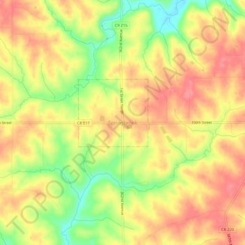
Name: Springbrook topographic map, elevation, terrain.
Location: Springbrook, Jackson County, Iowa, 52075, United States (42.14400 -90.49704 42.18400 -90.45704)
Average elevation: 807 ft
Minimum elevation: 653 ft
Maximum elevation: 902 ft
Jackson County trails, hiking, mountain biking, running and outdoor activities