
Thank you for supporting this site ❤️
Make a donation
Make a donation
Gear up for your next adventure:
As an Amazon Associate, this site earns from qualifying purchases at no extra cost to you.
Africa topographic map
Click on the map to display elevation.
Thank you for supporting this site ❤️
Make a donation
Make a donation
Gear up for your next adventure:
As an Amazon Associate, this site earns from qualifying purchases at no extra cost to you.
About this map
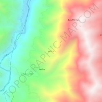
Name: Africa topographic map, elevation, terrain.
Location: Africa, vda Berlin, Ataco, Sur, Tolima, Colombia (3.32110 -75.73372 3.36110 -75.69372)
Average elevation: 5,433 ft
Minimum elevation: 3,340 ft
Maximum elevation: 7,677 ft
Thank you for supporting this site ❤️
Make a donation
Make a donation
Gear up for your next adventure:
As an Amazon Associate, this site earns from qualifying purchases at no extra cost to you.