
Ridgeway topographic map
Interactive map
Click on the map to display elevation.
About this map
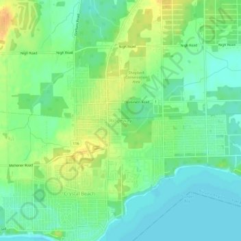
Name: Ridgeway topographic map, elevation, terrain.
Location: Ridgeway, Niagara Region, Ontario, L0S 1N0, Canada (42.86205 -79.06903 42.90205 -79.02903)
Average elevation: 604 ft
Minimum elevation: 561 ft
Maximum elevation: 663 ft