
Heikant topographic map
Interactive map
Click on the map to display elevation.
About this map
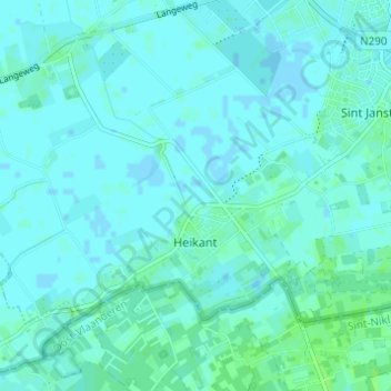
Name: Heikant topographic map, elevation, terrain.
Location: Heikant, Hulst, Zeeland, Netherlands (51.24111 3.98212 51.26644 4.04329)
Average elevation: 7 ft
Minimum elevation: -7 ft
Maximum elevation: 20 ft
Other topographic maps
Click on a map to view its topography, its elevation and its terrain.