
Hulst topographic map
Interactive map
Click on the map to display elevation.
About this map
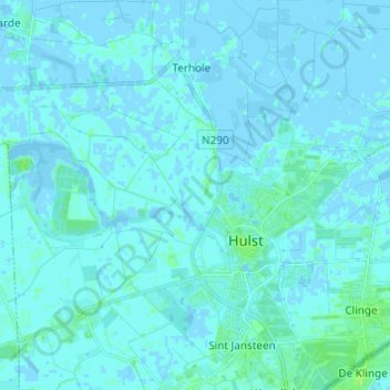
Name: Hulst topographic map, elevation, terrain.
Location: Hulst, Zeeland, Netherlands (51.25712 3.97817 51.32499 4.09995)
Average elevation: 3 ft
Minimum elevation: -13 ft
Maximum elevation: 26 ft
Other topographic maps
Click on a map to view its topography, its elevation and its terrain.