
Devils Tower topographic map
Click on the map to display elevation.
About this map
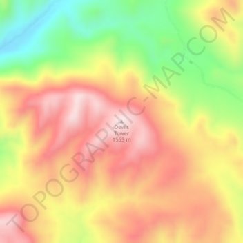
Name: Devils Tower topographic map, elevation, terrain.
Average elevation: 4,505 ft
Minimum elevation: 3,760 ft
Maximum elevation: 5,085 ft
Other topographic maps
Click on a map to view its topography, its elevation and its terrain.
Helena
United States > Montana > Lewis and Clark County
Helena is located at 46°35′45″N 112°1′37″W / 46.59583°N 112.02694°W / 46.59583; -112.02694 (46.595805, −112.027031), at an altitude of 4,058 feet (1,237 m).
Average elevation: 4,268 ft
Gates of the Mountains Wilderness
United States > Montana > Lewis and Clark County
Average elevation: 5,413 ft
Gates of the Mountains Wilderness
United States > Montana > Lewis and Clark County
Average elevation: 5,413 ft