Geolocate

Kofa topographic map

Click on the map to display elevation.

About this map

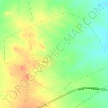
Name: Kofa topographic map, elevation, terrain.

Location: Kofa, Bebeji, Kano State, Nigeria (11.54395 8.25261 11.57305 8.29094)

Average elevation: 1,811 ft

Minimum elevation: 1,736 ft

Maximum elevation: 1,877 ft

Gear up for your next adventure:

🧭GPS Watch Accessories - Bands and chargers for GPS watches
🍳Camping Cook Set - Complete cookware for outdoor meals
🎁Geography Themed Gifts - Unique gift ideas for map lovers and geography enthusiasts
🎒Day Hiking Backpack - Lightweight backpack perfect for day trips and outdoor adventures
📦Gear Storage Bags - Organize and protect outdoor equipment

As an Amazon Associate, this site earns from qualifying purchases at no extra cost to you.