
Mill Brook topographic map
Click on the map to display elevation.
About this map
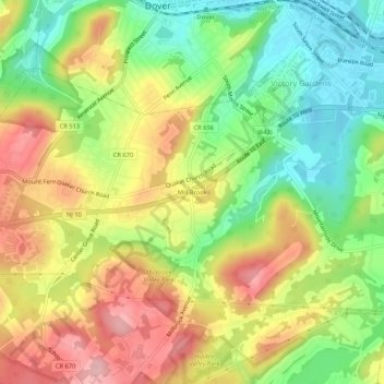
Name: Mill Brook topographic map, elevation, terrain.
Average elevation: 791 ft
Minimum elevation: 545 ft
Maximum elevation: 1,063 ft
Morris County trails, hiking, mountain biking, running and outdoor activities
Other topographic maps
Click on a map to view its topography, its elevation and its terrain.
Lake Cherokee
United States > New Jersey > Morris County > Randolph Township > Calais Crossroads
Average elevation: 968 ft