
Mantee topographic map
Click on the map to display elevation.
About this map
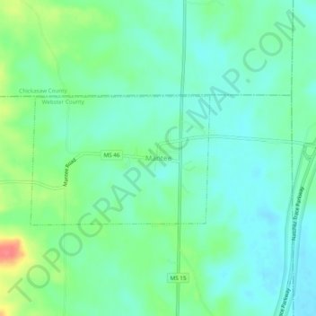
Name: Mantee topographic map, elevation, terrain.
Location: Mantee, Webster County, Mississippi, 39751, United States (33.71151 -89.07534 33.75151 -89.03534)
Average elevation: 341 ft
Minimum elevation: 279 ft
Maximum elevation: 499 ft
Webster County trails, hiking, mountain biking, running and outdoor activities