Geolocate

Patan topographic map

Click on the map to display elevation.

About this map

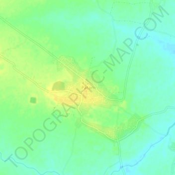
Name: Patan topographic map, elevation, terrain.

Location: Patan, Patan Tahsil, Durg, Chhattisgarh, 491111, India (21.01923 81.52362 21.05923 81.56362)

Average elevation: 968 ft

Minimum elevation: 935 ft

Maximum elevation: 1,007 ft

Other topographic maps

Click on a map to view its topography, its elevation and its terrain.

Kharun River

India > Chhattisgarh > Patan Tahsil

Average elevation: 958 ft

Gear up for your next adventure:

🪶Paracord Bracelet - Survival bracelet with built‑in tools
🏕️Family Camping Gear - Essentials for group camping trips
🥇GPS Hiking Watch - Multi‑sport GPS watch with navigation and trail tracking
🦟Ultrasonic Repellers - Create a bug-free zone at your camp or rest stop
🪶Camp Gear Gift Set - Perfect gift bundle for outdoor fans

As an Amazon Associate, this site earns from qualifying purchases at no extra cost to you.