
Thank you for supporting this site ❤️
Make a donation
Make a donation
Gear up for your next adventure:
As an Amazon Associate, this site earns from qualifying purchases at no extra cost to you.
Slaughter topographic map
Click on the map to display elevation.
Thank you for supporting this site ❤️
Make a donation
Make a donation
Gear up for your next adventure:
As an Amazon Associate, this site earns from qualifying purchases at no extra cost to you.
About this map
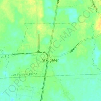
Name: Slaughter topographic map, elevation, terrain.
Location: Slaughter, East Feliciana Parish, Louisiana, United States (30.70798 -91.16961 30.73699 -91.10764)
Average elevation: 128 ft
Minimum elevation: 98 ft
Maximum elevation: 174 ft
East Feliciana Parish trails, hiking, mountain biking, running and outdoor activities
Thank you for supporting this site ❤️
Make a donation
Make a donation
Gear up for your next adventure:
As an Amazon Associate, this site earns from qualifying purchases at no extra cost to you.
Other topographic maps
Click on a map to view its topography, its elevation and its terrain.