
Chikni topographic map
Click on the map to display elevation.
About this map
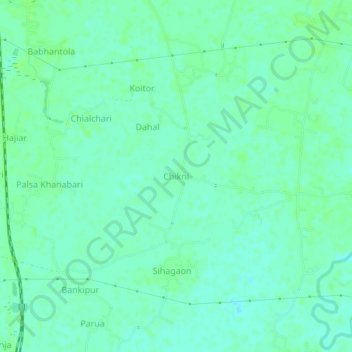
Name: Chikni topographic map, elevation, terrain.
Location: Chikni, Balrampur, Katihar, Bihar, India (25.81111 87.84273 25.85111 87.88273)
Average elevation: 118 ft
Minimum elevation: 102 ft
Maximum elevation: 131 ft